Horseshoe Bend Hot Spring is also commonly referred to as Juntura Hot spring. The USGS lists 3 hot/warm springs in the Juntura area. The spring listed at N43.75800 W118.06700 2999′ elev is a seep on a hill just north of a dirt road that follows the North Fork of the Malheur River just off US20. The spring listed at N43.75700 W118.09200 2951′ elev. is behind a fence on private property along the North Fork of the Malheur River. When surveyed nearly 20 years ago it had a 95F temperature. It is not suitable for soaking.
The Warm Spring at N43.77603 W118.04771 2926′ elev is the soakable Horseshoe Bend Hot Spring. It is commonly identified as a nude soaking location. It is located along the Horseshoe Bend of the Malheur River leading into Juniper Gulch and can be accessed via dirt road just NE of the new Horseshoe Bend Bridge over the Malheur River. The road is rough, but travelable for most vehicles. It gets pretty rutty after it rains or snows. The last 1/2 to 1/4 mile will put significantly more wear and tear on your vehicle as it is frequently flooded in the spring. It has quite a bit of river rock you have to travel over to reach what becomes an island in high water. The pool is about 100-104F in a setting that is quite nice. There are plenty of disbursed camping in the nearby area and you will usually find someone camping in the area. This is the site of numerous parties, but is generally in good condition. There is a memorial at the pools edge where an unfortunate fellow drowned a few years back. Remember, it is best not to drink and soak unless you bring someone along who is capable of fishing you out should you pass out. Although the setting is nice, it is really not the highlight of a spectacular canyon you travel along US20 between Boise and Bend. There is a free RV dump at the rest stop 18 miles W of Burns.
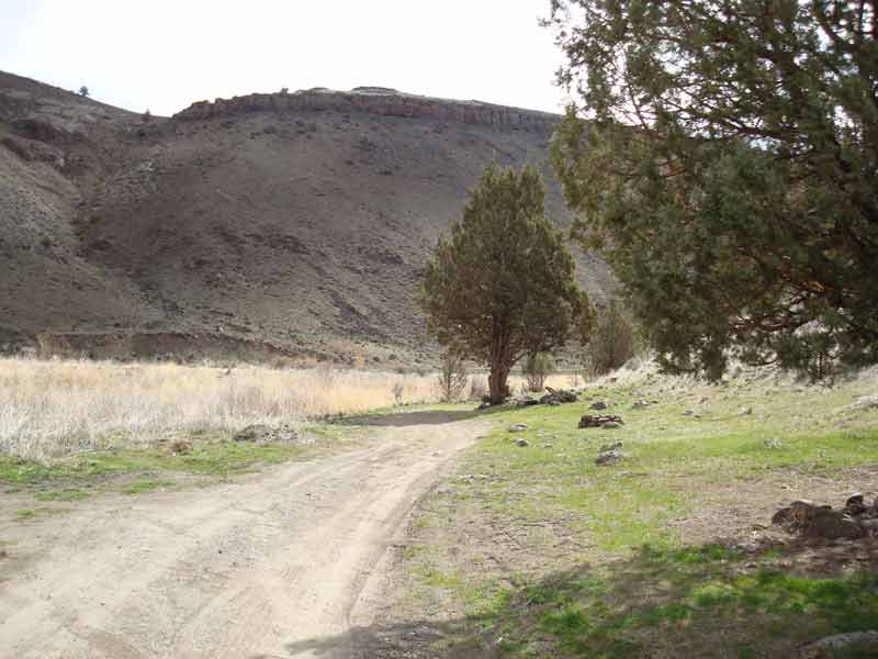
This picture was taken from the hill overlooking the pool from the NW. It was taken from the road on the opposite side of the river. You would need to get through a fence to approach from the high road.

The channel has water and needs to be waded. I suppose you could 4WD right through it, as some have. But, keep in mind, you will only be tearing up the island and stirring up dirt in the Malheur River.

The 2006 fire burned much of the adjacent area to the NW and a bit to the S. Fortunately, there are a couple of nice shade trees making for a nice camp that remains.
The old bridge one is still passable. You can approach from either side. The road to the HS is < 1 mile. It’s the one on the right or E side of the bridge.

